
Search a St. Louis Park Street
Street-by-street work in St. Louis Park starts with a single house number and the county parcel record. The Hennepin Property Information Search can resolve the address to a PID and legal description. The Hennepin Property Map then places that parcel beside adjoining PIDs. From there, the Recorder/Registrar access route supplies the title-record path, while the Minnesota voter lookup remains a narrow individual registration confirmation tool. The records do not create one current roster. They make a dated trail that should be checked one step at a time.
- Enter the full St. Louis Park address in the county property search and save the PID, situs address, legal description, assessment year, and displayed party role.
- Select the PID in the parcel map and note the surrounding parcel outlines, the neighborhood, and the map date.
- Use the legal description or a party name in the Recorder/Registrar index, then record the document number, type, recording date, and title system.
- When a current registration must be checked, use the official lookup with the exact name, birth date, and complete address, including a unit when needed.
- For a dated address association, search the HCLIB directory collection and preserve the year and page image before comparing it with the parcel trail.
That order keeps the parcel, document, and directory evidence separate. It also makes it easier to spot a changed PID or a historical address spelling before attaching a name to the wrong St. Louis Park street.
St. Louis Park PID Street Keys
A Hennepin PID is a 13-digit parcel identifier. It is often steadier than a street line when land is divided, combined, or described under a different addition name. The property result can show a situs address, parcel description, assessment values, taxes, sales, and recently recorded documents. It may identify an owner, taxpayer, mailing recipient, or sale party. Those labels are not interchangeable, so record the label shown and the assessment year instead of treating every displayed name as a present resident.
See the county's property-search instructions before using the address fields shown here.
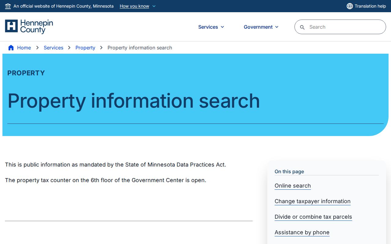
The address, PID, addition-name, and map routes give a St. Louis Park street search several ways to reach the same parcel. If the address returns no result, compare the legal description, adjacent parcels, and any parcel-change record before concluding that the property is absent.
- PID
- The county's 13-digit identifier for a parcel.
- Situs address
- The physical property address shown for the parcel, which can differ from a mailing address.
- Plat or addition
- A recorded subdivision description used with lots and blocks to locate land.
- Criss-cross directory
- A reverse-style directory arranged from address to a printed name association.
Note: A Hennepin PID is a parcel key, so retain it beside the street text and date used for every search.
St. Louis Park Street Search Fields
The county search offers more than a plain address box. Use the field that matches the information already verified, and save the returned address exactly as the portal displays it. The result categories support a parcel check, not a conclusion about every person connected with that street.
| Field or Control | When It Helps | Result Detail to Keep |
|---|---|---|
| Street address | Starting from a current St. Louis Park address | Situs line and matching PID |
| 13-digit PID | An address has changed or a prior record names the parcel | Legal description and parcel type |
| Addition name | A deed or plat uses subdivision wording | Related lot or block context |
| Interactive map | The parcel is easier to identify visually | Selected parcel and adjoining outlines |
| Result links | Checking the parcel after a match | Taxes, assessments, sales, and recent-recording links |
The live Hennepin property search illustrates the address, PID, addition, and map methods used for a St. Louis Park street directory.
Use the map control to confirm the selected parcel rather than relying on a similarly named street. Hennepin says a complete historical start date for the online parcel record was not located, so the visible year on each result matters.
Follow St. Louis Park Deed Records
The tax or assessment card is not the deed itself. For a St. Louis Park address, take the PID or legal description from the property search into RecordEASE and look for the recorded instrument. RecordEASE Public Search is a limited free index. Older or more complete work may require the public research computers in Skyway room SK-0353 at the Hennepin County Government Center, a document request, or the paid RecordEASE Pro route. Hennepin describes online recording history as limited to the last five years and possibly incomplete.
| Document number | Identifies the recorded instrument or certificate. |
|---|---|
| Instrument type | Distinguishes a deed, mortgage, assignment, lien, release, satisfaction, or related title record. |
| Recording date | Dates the Recorder/Registrar event, not necessarily a move-in date. |
| Parties and legal description | Connect the instrument to the people or entities named and to the parcel being researched. |
| Abstract or Torrens status | Shows whether the title path is an abstract chain or a certificate-of-title system. |
The county's land-title access page is the source for the RecordEASE and copy-request routes shown in this St. Louis Park street directory.
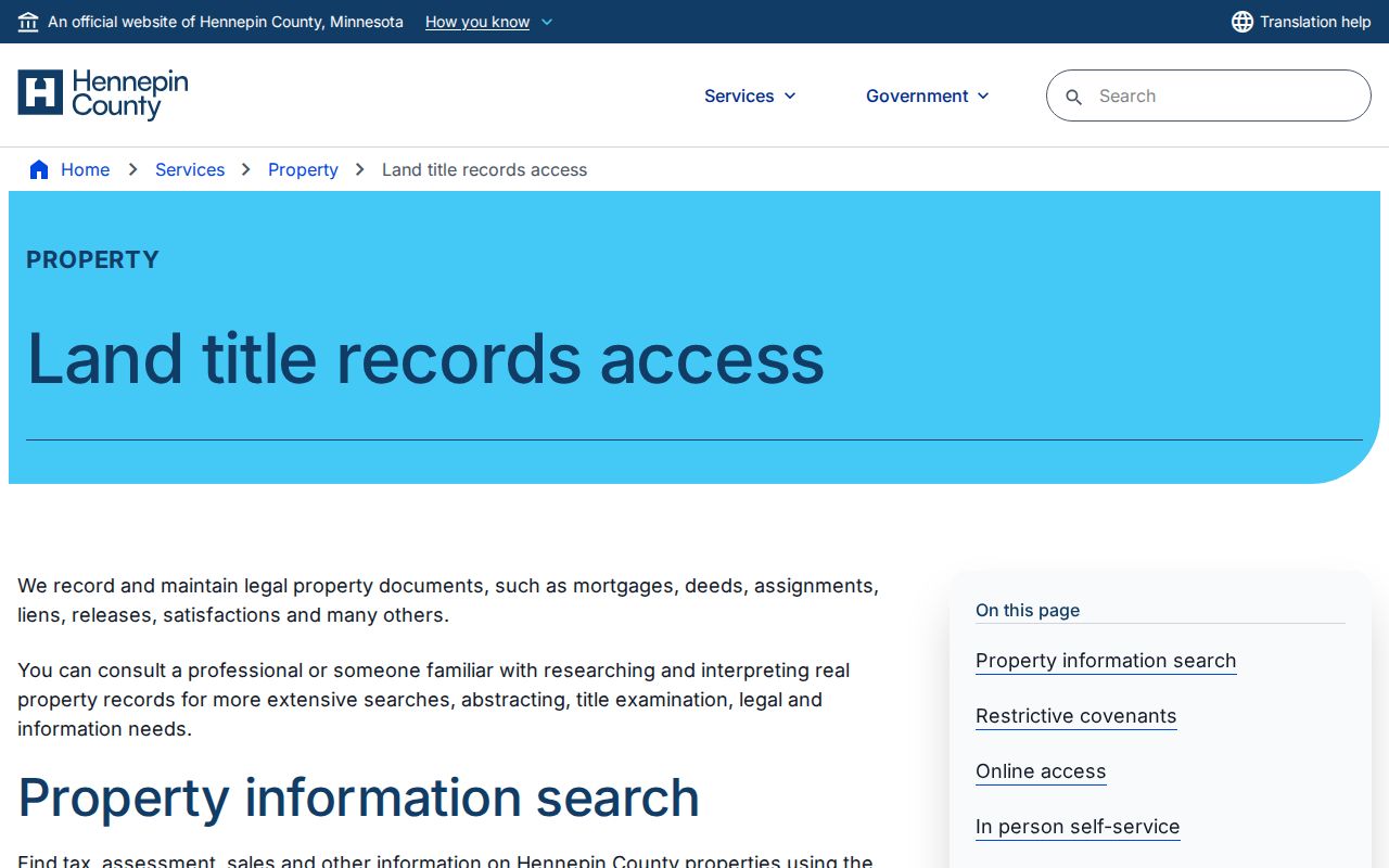
For a property owner, Hennepin offers a free electronic deed or certificate copy request. Other copies can be requested by mail, through the Virtual Recorder, or in person. A missing online link calls for one of those channels, not an assumption that no transfer occurred.
Note: A recorded party establishes a document event, while occupancy needs separate, dated evidence from an authorized source.
Read St. Louis Park Street OCR
Hennepin County Library's digitized collection gives the St. Louis Park street directory a historical layer for 1933 through 1977. Search the street name or a distinctive house number, then inspect the page image around each hit. OCR can represent Avenue as Av, omit a street type, and print ordinal numbers as 1st, 2d, 3d, or 4th. Earlier volumes can attach a resident prefix directly to the address. Those quirks are part of the source, so save both the query and the printed line.
The HCLIB City Directory Collection is the source for this St. Louis Park street directory search view.
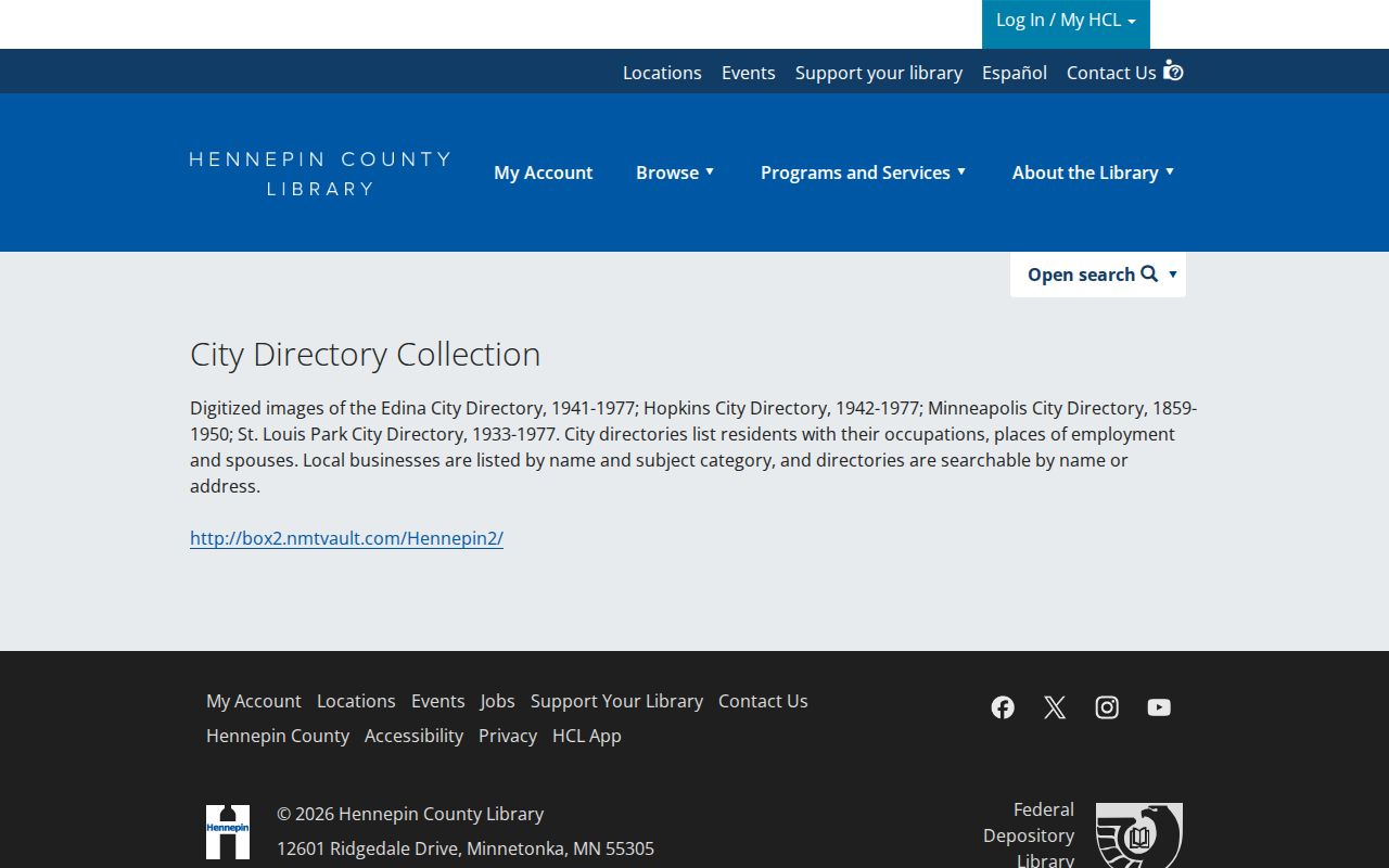
A line can pair a name with an address, occupation, business category, spouse notation, or a household mark for that publication year. It does not prove a current address or an uninterrupted connection. The St. Louis Park Directory Book has the fuller collection and entry-reading approach.
St. Louis Park Street Permits
City permit history can add a dated project to the address record. The St. Louis Park permits service links ePermits, property permit-history search, applications, payments, plan review, and inspection tools. Building, demolition, electrical, mechanical, plumbing, sewer or water, zoning, sign, parking, right-of-way, fire, and tree-protection work each follow their own record trail. The pages inspected do not state when online permit history begins.
When an older permit is missing, send a focused Minnesota Government Data Practices Act request to the city. Include the address, PID when known, date range, permit type, and whether inspection or an electronic copy is wanted. St. Louis Park says typical responses take 10 to 14 business days, with unusual timelines communicated to the requester.
St. Louis Park Street Geography
Street research gains context from the city's 35 neighborhoods. Their boundaries follow rail corridors, major roads, natural features, and municipal borders, with smaller subdivision exceptions. The city plan describes older grid patterns in the south, east, and central parts of St. Louis Park and later suburban patterns to the west and north. A parcel outline, the neighborhood name, a historic map, and a directory year are four different ways to orient a street result without treating the block as a roster.
The St. Louis Park neighborhood map identifies the civic geography, while the Plan by Neighborhood explains the rail, road, and natural-feature boundaries. For older addresses near a railroad or streetcar corridor, a historic label may describe the place better than a modern street spelling.
Note: Neighborhood boundaries supply civic context for a St. Louis Park street, but they do not establish a person’s current address.
Compare St. Louis Park Street Records
No single source proves every fact about an address. Use the record set that answers the question, retain its date, and compare it against another independent layer. The coverage below keeps ownership, mapping, municipal work, historical listings, and voter access in their proper lanes.
| Address-Keyed Source | What It Can Show | Access Route |
|---|---|---|
| Hennepin property search | PID, parcel description, assessments, taxes, sales, and recent-recording links | Public address, PID, addition, or map search |
| Hennepin GIS and section maps | Parcel outline, adjoining PIDs, and current or historic map context | Public map viewer; surveyed layer is not a legal survey |
| Recorder/Registrar index | Recorded instrument, parties, legal description, and title status | Limited free index, paid route, research computers, mail, or copy request |
| St. Louis Park permits and public data | Permitted project or inspection history at a dated address | ePermits or a focused city request |
| Registered-voter list | Public list fields only when a requester meets the statutory certification rules | State list request or narrower individual registration lookup |
| HCLIB city directories | Dated printed address association and nearby page context | Digitized collection, library resources, or archival help |
A parcel map shows proximity. A deed records a title event. A directory records a year-specific association. Reading those as distinct facts is the most reliable way to work through a St. Louis Park street directory.
St. Louis Park Street Map Layers
Maps help test whether the physical place stayed the same as an address changed. Hennepin's current and historic section maps, a parcel PID, and the Recorder legal description establish the land side. The Library of Congress Sanborn item adds a dated physical layer: it is a Minneapolis and Hennepin volume published from 1912 to July 1951, with St. Louis Park as a secondary location and a 92-sheet, 73-image sequence. Use the specific sheet and date shown.
Compare a modern parcel outline with a Sanborn footprint, historic section sheet, or society aerial only after matching the legal description and neighboring lots. A structure on a historic sheet can show site context, rail proximity, or a street label. It cannot by itself identify a person or fill every year between map dates.
For a stable comparison, write down the sheet number, image sequence, street spelling, lot or block wording, and current PID. The short record makes a later St. Louis Park street review repeatable and keeps a visually similar nearby parcel from becoming a false match.
St. Louis Park Street Directory Limits
A street directory is an evidence trail, not a list of everyone at an address. The assessor can display an owner, taxpayer, mailing recipient, or sale party, but each role has a different meaning. A deed records parties to a transaction. A directory gives a dated printed association. Minnesota voter data has public and restricted fields, and Hennepin provides withholding, inactivation, and Safe at Home routes for protected records. Stop when a result is protected or does not fit the source's stated purpose.
Lawful use. Use St. Louis Park address records for personal, lawful research and do not use them to stalk, harass, intimidate, or harm anyone.
Note: The Minnesota Government Data Practices Act governs access, but record-specific privacy rules and portal terms still control each result.