
St. Louis Park Address Sources by Era
Former occupants of a St. Louis Park address appear in several record layers, and each one answers a different question. Start with the parcel and recorded-title trail for the property, then use directories and maps for a dated household or physical-place view. Hennepin does not give a full start date for the historical online recorder index. It describes online recording history as the last five years and potentially incomplete, so older deeds need an authorized request or the public research computers. That limitation is useful information, not a missing step.
| Source layer | Years it covers | Where held | What it can show |
|---|---|---|---|
| Hennepin Property Information Search | Current and dated assessment or sales fields shown in a result | County property portal | PID, situs, legal description, values, sales, and recent-recording links |
| Recorder/Registrar deed index | Online recent history is described as last five years and may be incomplete | RecordEASE and Recorder research computers | Recorded title instruments and copy routes |
| HCLIB digitized city directories | 1933–1977 | City Directory Collection | Dated name and address associations, when printed |
| Sanborn map item | 1912–July 1951 publication span | Library of Congress online item | Footprints, land use, corridors, and street context |
| City permits and public-data records | Exact online history start not stated | St. Louis Park ePermits and city request route | Permitted work and municipal project history |
For recent changes, begin with the current PID and legal description. For a mid-century household, begin with the directory year closest to the question, then use a map or permit layer to test whether the physical place matches. A dated map does not name occupants, and a deed party does not by itself prove residence.
St. Louis Park PID Address Trail
The Hennepin Property Information Search accepts a street address, 13-digit PID, addition name, or an interactive-map selection. Record the situs address, PID, legal or parcel description, current and prior taxes, assessment values, sales, and any recently recorded-document link. Then open the Hennepin Property Map to compare the parcel outline and adjacent PIDs. The PID and legal description often survive parcel combinations, divisions, spelling changes, and shifts in the street label better than a single address search.
Keep roles separate from the first screen. An owner or taxpayer field, a mailing recipient, and a sale party can be different people. Address-history research becomes much more accurate when the working notes label the source year and the role rather than turning every listed name into an occupant. The current property card is a research aid, not the entire deed chain.
- PID
- The county’s 13-digit parcel identifier. Use it to tie a current address to the land record and map layers.
- Situs address
- The property’s physical street address as shown by the assessor. It can differ from a mailing address.
- Legal description
- The lot, block, subdivision, or other formal land description used to identify a property in recorded documents.
St. Louis Park Past Owner Chain
The deed chain starts at the Recorder/Registrar, not at the assessment card. Hennepin directs researchers to obtain the legal description from the property search, then use it with the individual or entity name in the land-title index. The free RecordEASE Public Search is limited. RecordEASE Pro is subscription-based, and a document image or certified copy has its own authorized purchase or request route. A useful inspection records the document or certificate number, instrument type, recording date, grantor or grantee, legal description or PID, Abstract/Torrens status, and image or copy path.
- Save the current PID, legal description, and any recent document number from the county property result.
- Search the legal description or a party name in the Recorder index and identify the most recent title-changing instrument.
- Read the seller and buyer roles, then search the earlier party with the same legal description to find the prior transfer.
- Repeat the dated sequence, keeping deeds, mortgages, assignments, releases, liens, plats, and satisfactions distinct.
- When online history ends, use Skyway room SK-0353, an authorized request, or the Recorder’s copy channels for older material.
- Grantor and grantee
- The grantor transfers an interest. The grantee receives it. Those roles describe a recorded event, not necessarily who lived there.
- Chain of title
- A dated sequence of recorded property interests. It must be read with the parcel’s legal description and title system.
- Abstract and Torrens
- Abstract property is searched as a chain of instruments. Torrens property relies on a certificate of title with memorialized interests.
Keep the document type beside each date. A mortgage, release, lien, plat, or covenant record may explain the title context without transferring ownership. The legal description and Abstract or Torrens status keep the chain attached to the right property.
St. Louis Park Hennepin Deed Access
The county land-title records access page explains the free RecordEASE Public Search, paid Pro access, copy requests, property-owner electronic copies, and public research computers. It also gives the critical warning that online recording history is limited to the last five years and may not be complete. For earlier documents, the public computers at the Government Center, mail requests, and electronic noncertified or virtual certified-copy channels are part of the normal path. Do not treat an empty online result as proof that no older transfer exists.
The captured RecordEASE access screen identifies the official Hennepin route for index research and document copies.
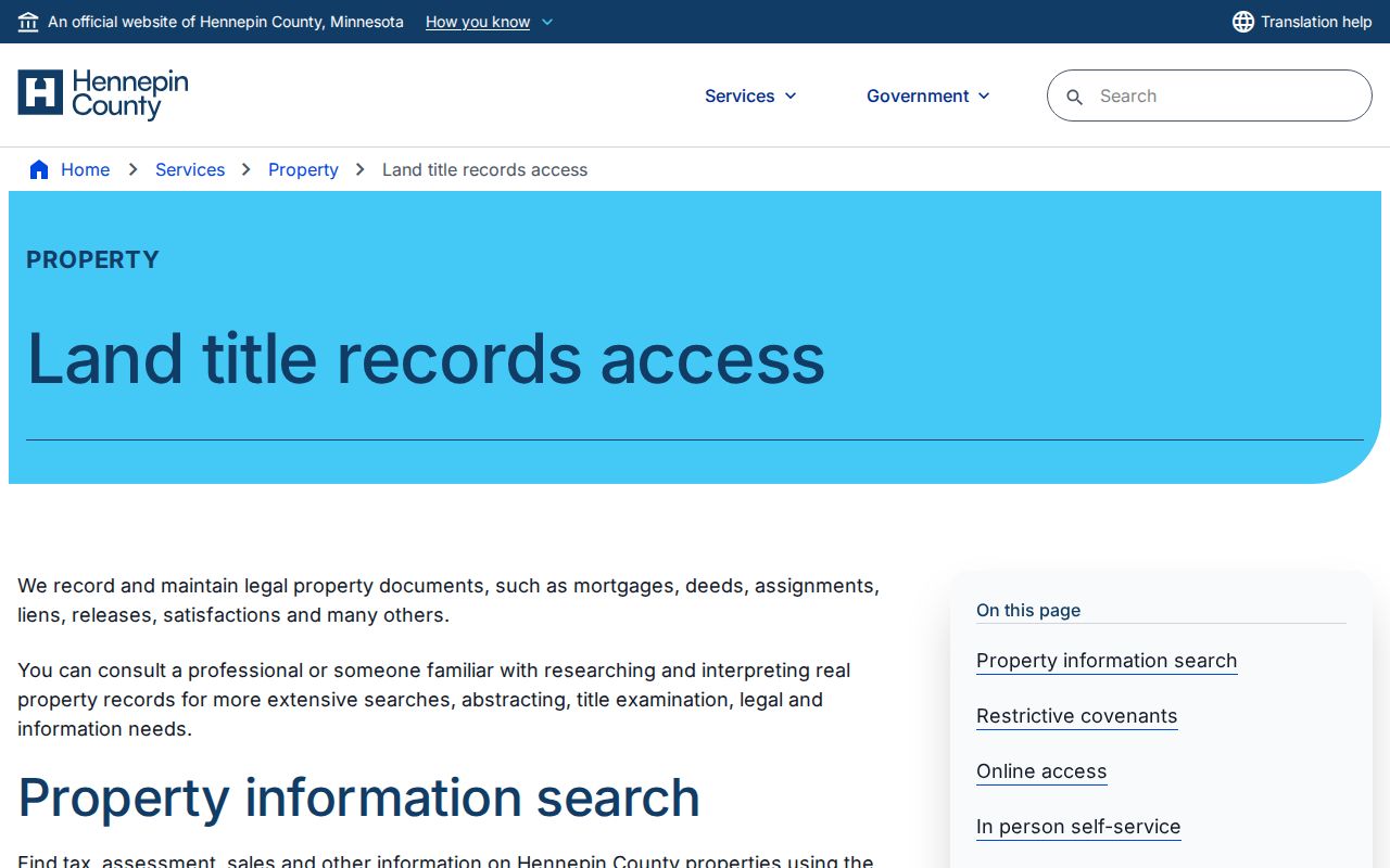
Use the screen to reach the index, then preserve the document number and date in the house-history notes. Hennepin also lists recordsrequest@hennepin.us and 612-348-5139 for land-title copies and recording questions. Note: an authorized document copy is stronger evidence than a shorthand index result.
St. Louis Park Previous Residents in Directories
Directories add the household layer to a title trail. HCLIB describes digitized St. Louis Park volumes from 1933 through 1977. Search the address and the surname separately, because OCR may render Avenue as Av, attach an early resident prefix to the address, or use older ordinal forms. Save the directory year and page image before comparing the name to a deed. The collection itself, its holdings, and how to read the entries belong to the St. Louis Park Directory Book; here, the printed line is one dated stop on the backward address trail.
The digitized directory collection provides the searchable route for a St. Louis Park address or surname.
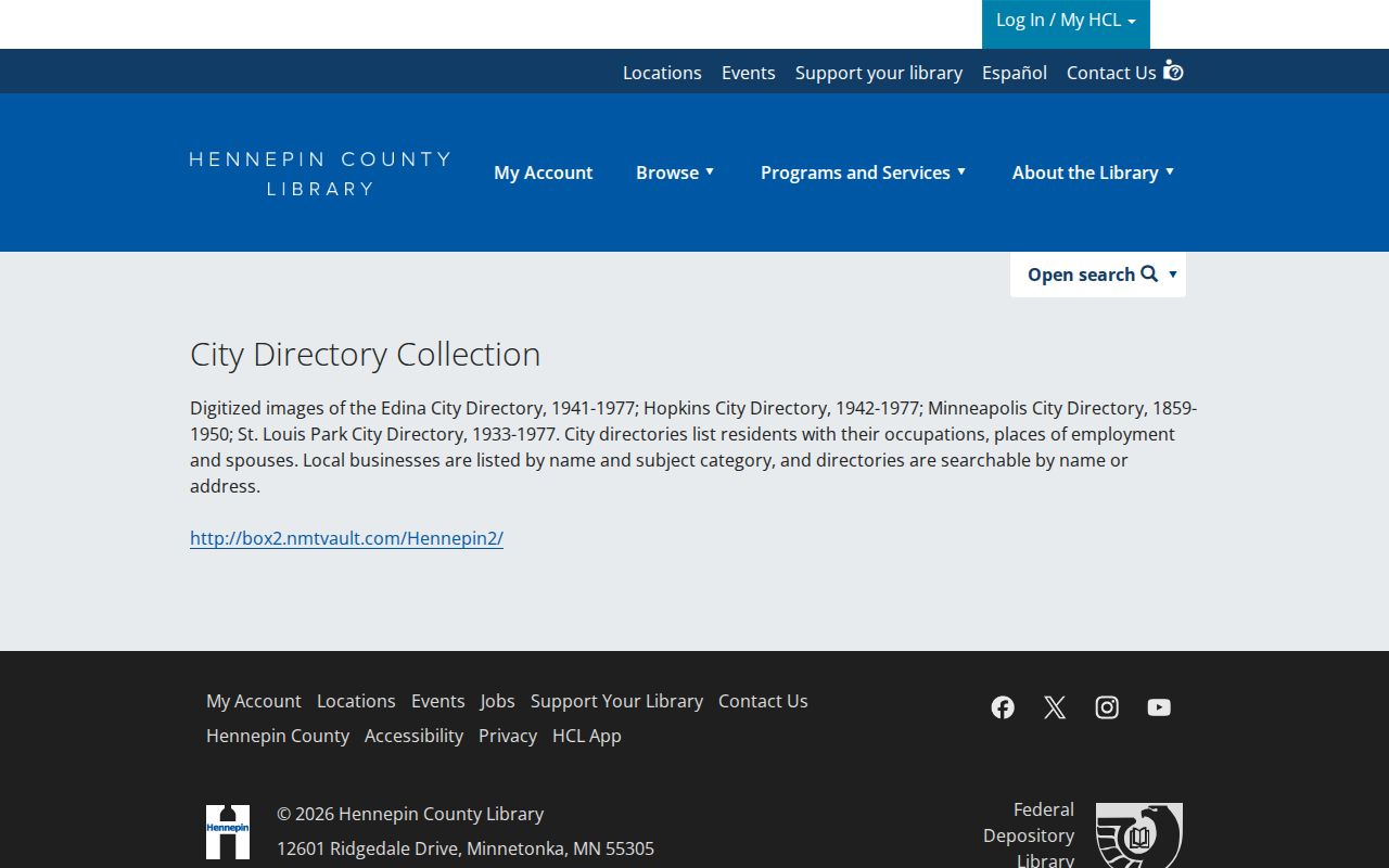
A page image can show a surname, address, occupation or workplace, spouse or household notation, and an early prefix where printed. It does not establish a complete household or an unbroken residency, especially when the Historical Society inventory identifies a missing year.
Pair a directory date with an appropriate census year and another dated source, such as a newspaper clipping, permit, or map. This creates a careful sequence: address printed in a directory, address or parcel confirmed in a second record, then a note about any unresolved gap. Note: a directory gap is a gap in the evidence, not evidence of an empty house.
St. Louis Park House History Layers
The HCLIB researching-homes guide joins city directories with clipping files, neighborhood newspapers, the Minnesota Digital Newspaper Hub, the Star Tribune archive, Recorder documents, and Just Deeds. It is a practical human-use route when the question is how a home changed over time rather than simply who had title. The St. Louis Park Library provides local-history help and computers; Minneapolis Central has printed Suburban Area directories and clipping files. Bring a bounded request with the address as printed, possible spelling variants, years, PID, and legal description.
The captured house-history guide shows HCLIB’s official bridge from directories to deeds, maps, and clippings.
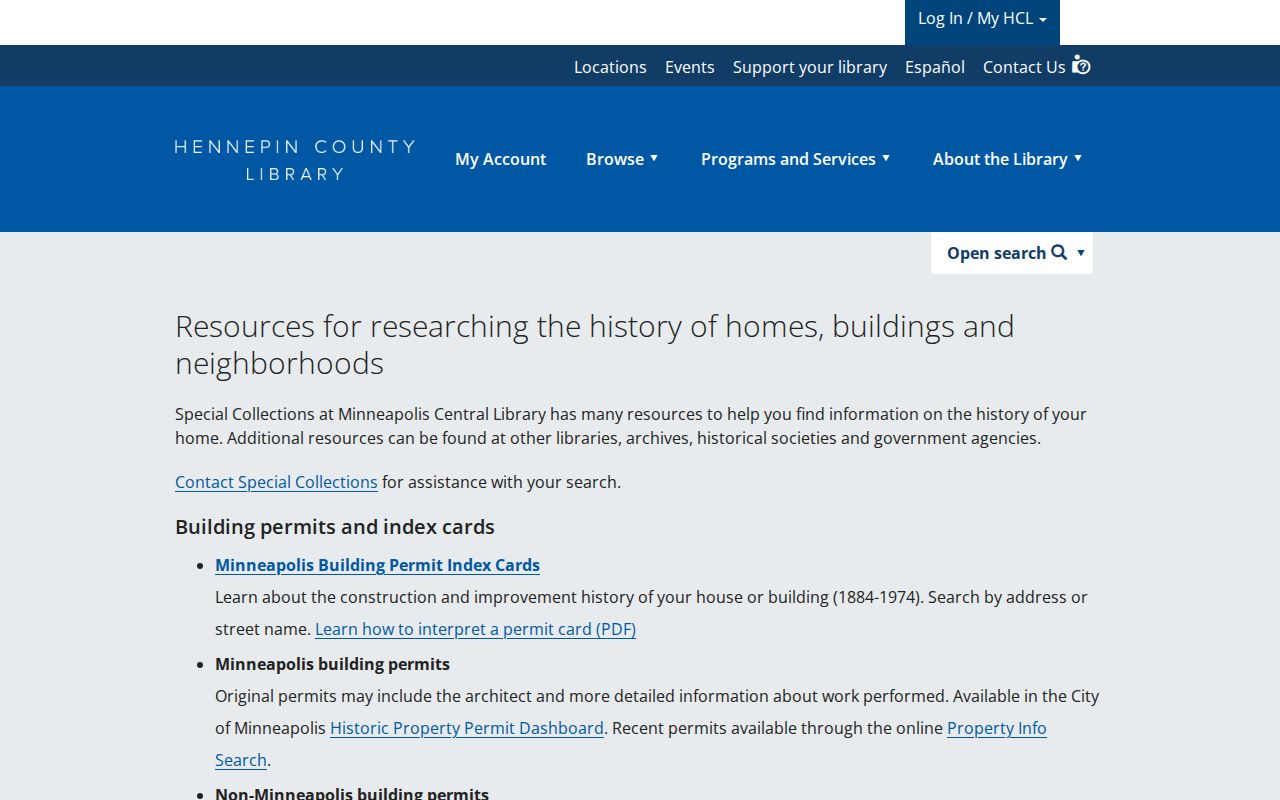
This workflow helps turn a series of names into dated research questions without creating a dossier about living people. It also directs researchers toward archives when a portal does not contain the needed record.
Hennepin History Museum is another appointment-based source for Sanborn maps, city directories, clippings, yearbooks, maps, atlases, blueprints, letters, diaries, and photographs. The St. Louis Park Historical Society adds newspaper microfilm, yearbooks, plat maps, and aerials. Each source needs its own date and citation.
St. Louis Park Address Map Layers
Map layers provide the geography behind a name trail. The Library of Congress Sanborn item is a Minneapolis/Hennepin volume published across 1912 to July 1951, with Saint Louis Park as a secondary location and a 92-sheet, 73-image sequence. It can show a footprint, land use, rail line, commercial corridor, street label, or lot context. It does not promise a sheet for every year or every house. Compare the specific sheet and date with the current GIS parcel outline and the legal description before treating two similar addresses as one place.
St. Louis Park’s neighborhood plan adds another way to orient an old address. Its 35 neighborhood boundaries follow rail corridors, major roads, natural features, and municipal borders. South, east, and central areas tend toward older grids, while western and northern patterns developed differently. The original village center near the Minneapolis and St. Louis Railroad and Wooddale, along with the streetcar corridors, can explain an older place reference that a modern address search does not immediately recognize.
St. Louis Park Past Households
Former household members are not the same as past owners. Use a directory or other dated household source for a printed association, the Recorder for a title event, the assessor for an assessment role, a city permit for a permitted project, and a map for the physical site. When the evidence points in different directions, leave the roles separate. This comparison is more useful than forcing every name into one label, and it keeps the record trail honest about what remains unknown.
City ePermits can add building, demolition, electrical, mechanical, plumbing, sewer/water, zoning, sign, parking, right-of-way, fire, and tree-protection history. The city does not state the start date for online permit history. A missing result should lead to a Minnesota Government Data Practices request that identifies the address, PID if known, time range, permit type, and desired copy format. Municipal records can explain a physical change, but they do not prove who occupied the home.
Lawful use. St. Louis Park former-resident research is suited to family history, estate questions, and house history. Do not use it to pursue, harass, stalk, or harm a living person; Minnesota law restricts that conduct.
St. Louis Park Address Trail Stops
Stop at the evidence boundary. An old directory may be unlisted, OCR may be wrong, a parcel may have been divided or combined, and the Recorder’s online history may omit the older transfer needed to continue. Preserve the current and historical street text in separate notes, along with the PID, legal description, subdivision, map date, directory year and page, permit date, Recorder document number, and a confidence note. That record of the search prevents a later guess from becoming a claimed fact.
If a historical match hinges on a changed street label, compare the legal description, subdivision, map footprint, adjacent addresses, city plats, and Recorder documents. No verified official St. Louis Park renumbering schedule or conversion table was located in the research. The proper conclusion is an unresolved address question until a dated source connects the labels.