
Find St. Louis Park Neighbors by Block
Use a source for the question it can actually answer. The parcel tools are strongest for location and ownership roles. Historical directories are strongest for a dated printed association. The city neighborhood resources describe civic geography and organization contacts. Election tools may validate an address's precinct or an individual's own registration, but public voter-list access has statutory conditions. Keeping those distinctions visible avoids turning the St. Louis Park block into a private roster.
| Block Source | What It Shows | Access |
|---|---|---|
| Hennepin Property Map | Selected parcel, parcel outline, and adjoining PIDs | Public map viewer |
| Hennepin Property Information Search | PID, legal description, parcel details, and displayed owner or taxpayer role | Public address, PID, addition, or map search |
| Recorder/Registrar index | Recorded document parties and a title event tied to the legal description | Limited free index plus request, research-computer, and paid options |
| HCLIB city directories | Dated printed address association and nearby page context | Digitized collection and library support |
| City neighborhood resources | Neighborhood boundary and organization contact layer | City map and liaison information |
| Election resources | Precinct or district context, or a tightly limited registration check | Official tool and statutory requester rules |
For current information, the key distinction is owner or taxpayer versus occupant. For historical work, a directory line needs its publication year and page image. Neither kind of result identifies a social relationship among St. Louis Park neighbors.
Map a St. Louis Park Neighbor Block
The Hennepin map supports a small-radius parcel method. Start with one verified address, select its parcel, and move only to the parcels that share an edge or are otherwise clearly adjacent on the map. Preserve the PID and legal description at each step. The map is a spatial record, so it should be paired with a dated property or Recorder result rather than used to infer who lives at every nearby address.
- Search the address in the Hennepin Property Map and select the matching parcel.
- Record its PID, visible boundary, and the adjoining PIDs shown around the St. Louis Park point.
- Check each PID in the Hennepin Property Information Search and retain the assessment year and the displayed party role.
- Use the legal description in the Recorder/Registrar index if a dated title event is relevant to the parcel.
- Switch to the St. Louis Park street directory only when the question expands from an immediate block to the broader, address-by-address street trail.
This flow records adjacency without claiming membership, friendship, or current presence. A common boundary is a geographic fact. It is not a personal connection.
St. Louis Park Parcel Adjacency
Parcel geometry can explain a block more reliably than a string of street names. Hennepin GIS shows a selected parcel in relation to adjoining PIDs. Current and historic section maps add parcel and section context. The county's surveyed-properties web map includes private-surveyor and county material but is expressly not a legal boundary survey. Treat its lines as research context and use a formal survey only when a legal boundary question requires one.
Parcel combinations and divisions deserve special care. Hennepin says new PIDs are generally finalized from March through June of the following year after a division or combination. Save both PID values, the legal description, and the change date. That small recordkeeping step can prevent a St. Louis Park block search from assigning an older directory line to the wrong modern parcel.
St. Louis Park Neighbor Geography
St. Louis Park has 35 neighborhoods, and their boundaries commonly follow rail corridors, major roads, natural features, and municipal borders. The Plan by Neighborhood describes older grid areas in the south, east, and central city and later suburban development in the west and north. That geography helps explain why a nearby parcel can fall into a different civic area even when it appears to be on the same short block.
The city neighborhood page offers a myNeighborhood map by address and an organization contact layer. The Plan by Neighborhood provides the boundary logic. Use both as local context, not as proof that every St. Louis Park neighbor participates in a group.
St. Louis Park Neighbor Contacts
Neighborhood organizations are a civic contact layer rather than a source of private membership lists. The city supports organized groups with registration, grants, and meeting space, and its address map can identify the relevant neighborhood. When seeking a community connection, start with the official organization route instead of trying to build a neighbor list from parcel names.
| myNeighborhood map | Use the city address map to identify the St. Louis Park neighborhood and available organization contact information. |
|---|---|
| Neighborhood liaison | Pat Coleman, neighborhood@stlouisparkmn.gov, 952-928-1316. |
| Registered neighborhood groups | Annual registration supports grant eligibility and city meeting-space access; it does not establish a public member roster. |
| City record | The neighborhood boundary and civic contact route are public context, separate from individual address records. |
St. Louis Park says organized groups can receive one free Recreation Center meeting each month and one City Hall meeting each year. That support explains how the civic layer works, while the map remains the right starting point for locating a neighborhood by address.
Note: A city neighborhood contact connects a block with civic information, not with a roster of nearby people.
Read St. Louis Park Directory Neighbors
The HCLIB collection adds a year-specific view of a block. Its catalog describes St. Louis Park volumes from 1933 through 1977. Search an address, street name, or distinctive number range, then inspect the surrounding page. Nearby lines may provide useful context for that printed year, but the entry remains a historical association, not confirmation of a current resident or a social tie among St. Louis Park neighbors.
Open the HCLIB City Directory Collection before using the digitized St. Louis Park directory search shown below.
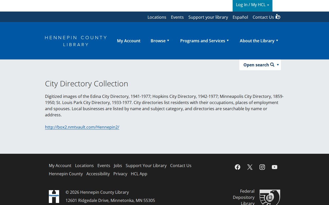
Search syntax needs period awareness. Avenue may appear as Av, street types can be omitted, and ordinal numbers can appear in more than one form. Preserve the printed spelling, year, and image so a later St. Louis Park block comparison can be checked rather than guessed.
St. Louis Park Neighbor Privacy
Election records have tighter limits than a parcel map. The individual Minnesota voter lookup requires a first name, last name, and full birth date, with an exact address match in the registration path. The Secretary of State distinguishes that confirmation from the separate registered-voter-list request. The latter has permitted-use certification and requester conditions, so it is not a general block-list tool.
Hennepin's voter-registration privacy page is the source for the withholding, Safe at Home, and inactivation routes shown here.
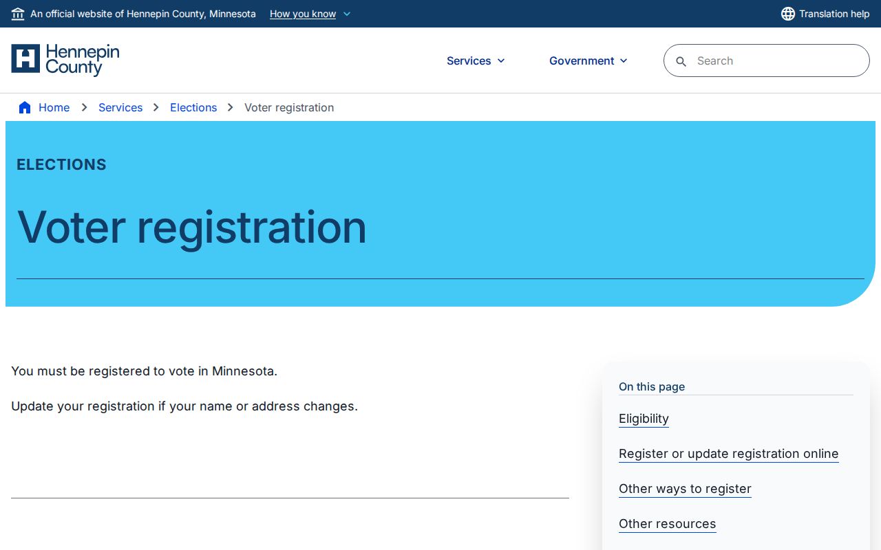
The 2026 Secretary of State guidance separates public list fields from restricted data such as full birth date, email, registration method, challenged status, and ID information. If an address or record appears protected, leave it out of the block research and use the agency's official privacy route.
Note: A precinct or district result can describe an address's election geography without identifying who participates there.
St. Louis Park Neighbor History
Older St. Louis Park blocks can carry labels shaped by the city's transit history. The original village center grew near the Minneapolis and St. Louis Railroad, now CP Rail, and Wooddale. Streetcar lines ran along West Lake and Minnetonka Boulevard and along the Como-Harriet line. A historic directory, plat, or map may therefore use a corridor, village-center, or neighborhood reference that does not line up neatly with a modern address search.
Use a dated item before translating an older reference. The St. Louis Park Historical Society's other-resources guide points to plats, aerials, directory holdings, newspapers, yearbooks, and related local materials. These records enrich the physical history of a block, but they do not turn adjacency into a relationship among neighbors.
Note: Historic maps and directories describe a dated place, so preserve their year before comparing them with a current parcel.
Compare St. Louis Park Neighbor Sources
Official records and commercial neighbor tools answer different questions and carry different limits. The official route identifies a named custodian, a date, and a record type. A commercial tool may combine data from mixed sources, but it may not explain the original record, the date, or an access restriction. For a St. Louis Park block question, the original parcel, directory, or civic source is easier to verify.
| Source Type | Best Use | Boundary to Keep |
|---|---|---|
| Official parcel and Recorder records | Check a parcel, title event, or legal description with its custodian | Ownership role or recorded party is not automatic current presence |
| Official city neighborhood resources | Identify civic boundaries and public organization contacts | Does not identify members or personal ties |
| Institutional historical directories | Check a printed address association on a dated page | Does not establish a continuous or current connection |
| Commercial neighbor tools | Use caution and verify any claim with the named public or institutional source | May lack provenance, date, or the original access limits |
Use the record with the narrowest fit. A current parcel map answers a location question. A printed directory answers a historical one. That approach keeps a St. Louis Park neighbor lookup grounded in what the source actually says.
St. Louis Park Neighbor Limits
Adjacent parcels do not establish current occupancy, contact details, or a personal relationship. Minnesota Government Data Practices rules classify some government data as private, confidential, or restricted, and election information has its own statutory limits. Safe at Home, voter withholding, and inactivation protect eligible records. Keep a result only when the custodian makes it available for the intended lawful purpose, and do not copy protected details into a block note.
Lawful use. Use St. Louis Park neighbor records for personal, lawful research and never to stalk, harass, intimidate, or harm another person.
When a block question cannot be answered from an authorized source, stop there. A map may show proximity, but it never supplies permission to monitor a person.